
New Patented Technology Helps Cyclists Manage Exertion on Trips
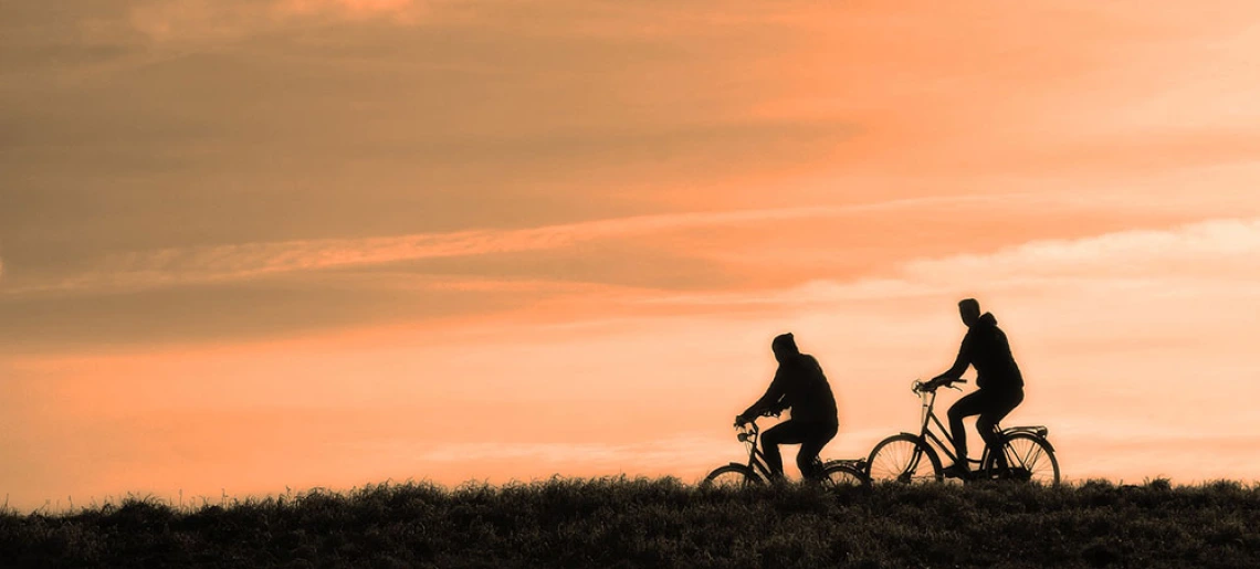
Cyclists from around the world may soon have an app that will help them manage exertion on long-distance routes, thanks to new, patented technology coming out of the University of Arizona Eller College of Management Department of Management Information Systems.
UA Eller Professor of MIS Moshe Dror and Katherine Payne filed a patent that uses road topography for bicycle travel in a novel way. The patent (US 92176492015) is titled “Systems and methods for providing topographical graphs and travel routes based on perceived exertion.” Payne is an Eller MIS alumni and current assistant professor of information systems at Brigham Young University.
Dror and Payne received the patent for their unique algorithmic use and method of transforming road map data into a novel topographical road graph using polyline data from the OpenStreetMap (OSM), elevation data from a Digital Elevation Model (DEM) provided by the U.S. Geological Survey, and a model of perceived exertion for bicyclists of different levels of expertise.
The idea to graph bicycle routes and exertion metrics originated several years ago when one of Dror’s students, an avid bicyclist, wanted to generate routes through Scotland to whiskey distilleries. The student did not continue with classes, but the idea stuck, particularly since Dror had past experience graphing propane distribution.
“My dissertation examined the logistics of propane truck routes. It was quite a complicated mathematical problem, and I saw similarities with cycling routes,” Dror said. “When Katherine enrolled in my class, we discussed the idea and began to research cyclists’ behavior. The more we learned, the more intrigued we were with the idea of creating technology to help cyclists minimize exertion, especially on long-distance trips.”
While network representations of the road and other map features are widely used in mapping applications and route planning, few, if any, tools exist that generate tours of minimal difficulty at a high level of granularity.
The new methodology measures topographical data every 33 feet and takes into consideration the cyclists’ experience levels, with five different categories ranging from beginner to advanced.
“Beginners and advanced cyclists have very different levels of exertion. For example, if cyclists are riding down a steep road, beginners will press on the breaks more,” Dror said.
Dror and Payne have mapped out the entire state of California and future plans include mapping out walking routes.
“This summer, we may even look at how different car engines consume gasoline on different topographical routes,” Dror said.
Dror and his students are also building a demonstration that will include data, such as places to rest along each cycling route, hotel information and more. He also aims to create a mobile app with the help of students enrolled in Eller’s top-ranked MIS masters program.Image Courtesy of Pixabay.